Data
Showing 1–12 of 418 results
-
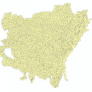
12 Digit Watershed Boundary Dataset 2017 (polygon)
Downloadable Data! Add to cart -
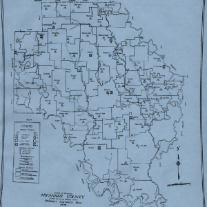
1936 School Districts in Arkansas Study
Read more -
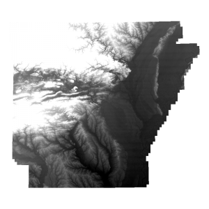
2006 Five Meter Resolution Digital Elevation Model (raster)
Read more -
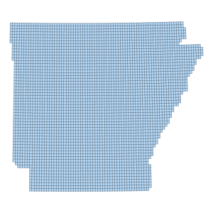
2006 Five Meter Resolution Digital Elevation Model Footprint (polygon)
Downloadable Data! Add to cart -
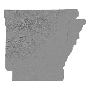
2006 Five Meter Resolution Hillshade Model (raster)
Read more -
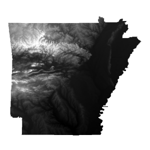
2018 DEM 1M
Read more -
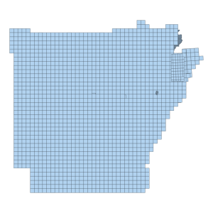
2018 DEM 1M Tile Index
Downloadable Data! Add to cart -
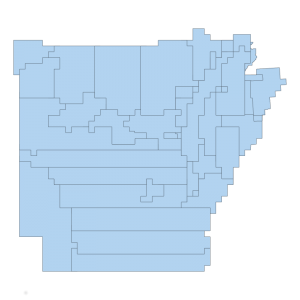
2018 DEM Project Extents
Downloadable Data! Add to cart -

2018 Impaired Lakes 303 d list in Category 4a
Downloadable Data! Add to cart -

2018 Impaired Lakes 303 d list in Category 5
Downloadable Data! Add to cart -

2018 Impaired Lakes 303 d list in Category 5 Alt
Downloadable Data! Add to cart -
2018 Impaired Streams 303 d list in Category 1b
Downloadable Data! Add to cart

