Data Description
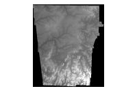
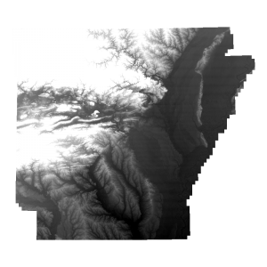
NWA Lidar Digital Elevation Model- Float 2004 (raster)
Data available online at http://www.geostor.arkansas.gov This Geographic Information System dataset may be described as the 2004 LIDAR-based Digital Elevation Model (DEM) for Benton and Washington Counties in Arkansas. Vertical units are in Feet. This raster (25ft resolution) Digital Elevation Model (DEM) was generated using a bare earth point cloud obtained from Landair Mapping, Inc as part of the August 2004 LIDAR acquisition (Washington and Benton Counties, AR) coordinated by John McLarty, Elizabeth Bowen, Brian Culpepper, and Dr. Jack Cothren of the Northwest Arkansas Imagery Task Force. This collaborative project was made possible due the financial support provided by the numerous State, Federal, local government, and private sector entities who actively participated in the Northwest Arkansas Imagery Task Force meetings hosted by the NWARPC during 2004. Users of these data owe a special thanks to John McLarty (NWARPC) and Elizabeth Bowen (Benton County GIS Coordinator) for their superior leadership during this effort. Funding to support the distribution of this data via Arkansas’ GeoStor was made possible by Mullins Library at the University of Arkansas, Fayetteville
[Keywords: elevation lidar surface model dem ]

