Data Description
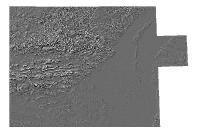
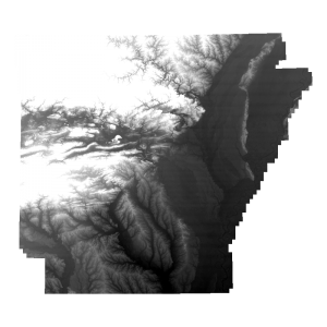
Hillshade 3 Arc Second 2000 (raster)
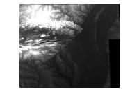
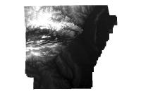
Data available online through GeoStor at http://www.geostor.arkansas.gov. A Digital Elevation Model (DEM), consists of a sampled array of elevations for ground positions that are normally at regularly spaced intervals. The 1-Degree DEM (3- by 3-arc-second data spacing) provides coverage in 1- by 1-degree blocks for all of the contiguous United States, Hawaii, and limited portions of Alaska. The basic elevation model is produced by or for the Defense Mapping Agency (DMA), but is distributed by the USGS, EROS Data Center, in the DEM data record format. In reformatting the product the USGS does not change the basic elevation information. 1-degree DEM’s are also referred to as “”””””””””””””””3-arc second”””””””””””””””” or “”””””””””””””””1:250,000 scale”””””””””””””””” DEM data. Elevations are in meters relative to National Geodetic Vertical Datum of 1929 (NGVD 29) in the continental U.S. and local mean sea level in Hawaii.
[Keywords: elevation ]


