Elevation
Showing 1–12 of 18 results
-
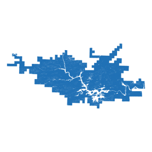
City of Hot Springs Contours (line)
Read more -
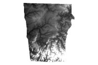
NWA Lidar Digital Elevation Model 2004 (raster)
Read more -
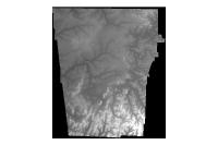
NWA Lidar Digital Elevation Model- Float 2004 (raster)
Read more -
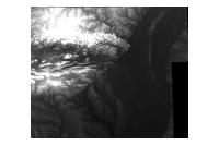
National Elevation Dataset 1999 (raster)
Read more -
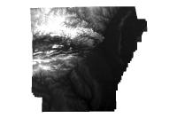
Five Meter Resolution Autocorrelated Digital Surface Model (raster)
Read more -
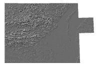
Hillshade 3 Arc Second 2000 (raster)
Read more -
National Digital Elevation Dataset Hillshade 1999 (raster)
Read more -
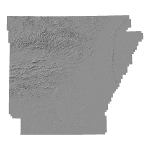
2006 Five Meter Resolution Hillshade Model (raster)
Read more -
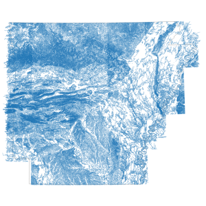
Hypsography 1990 (line)
Read more -
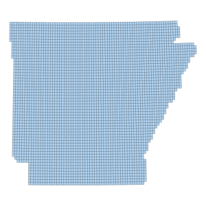
2006 Five Meter Resolution Digital Elevation Model Footprint (polygon)
Downloadable Data! Add to cart -
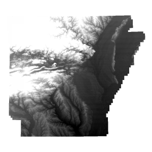
2006 Five Meter Resolution Digital Elevation Model (raster)
Read more -
Five Meter Resolution Autocorrelated Digital Surface Model (raster)
Read more

