Data Description
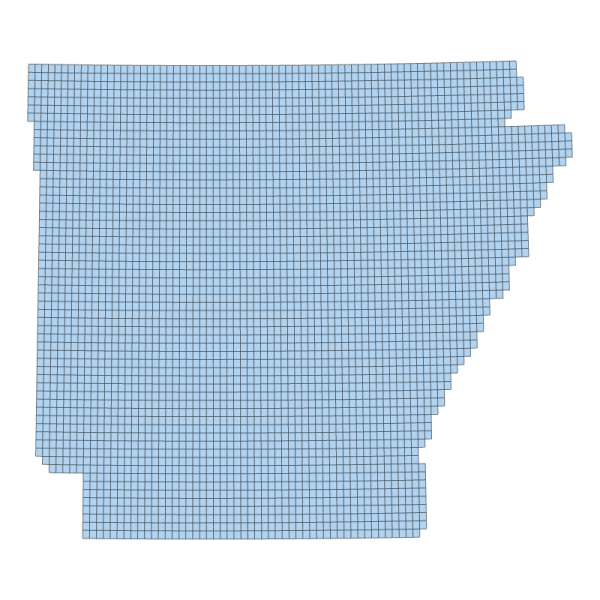
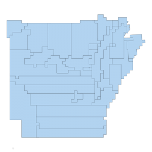
2006 Five Meter Resolution Digital Elevation Model Footprint (polygon)
This layer represents the vector footprint of each Quarter-Quadrangle, along with attributes corresponding to the area of coverage the State of Arkansas request to be acquired.
[Keywords: ADOP dates DEM elevation relief elevation ]

