Click Here To Subscribe To News And Data Updates!
View Cart “2018 DEM 1M Tile Index” has been added to your cart.
V_DEM_Statewide_2006

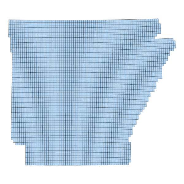
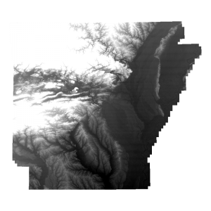
2006 Five Meter Resolution Digital Elevation Model Footprint (polygon)

Downloadable Data!


Updated: 2014-10-16 14:48:00

Publisher: Arkansas GIS Office

Publication Date: 2001

REST Endpoint
SKU: V_DEM_STATEWIDE_2006 Category:

Data Description

2006 Five Meter Resolution Digital Elevation Model Footprint (polygon)

This layer represents the vector footprint of each Quarter-Quadrangle, along with attributes corresponding to the area of coverage the State of Arkansas request to be acquired.

[Keywords: ADOP dates DEM elevation relief elevation ]