Boundaries
Showing 37–48 of 57 results
-
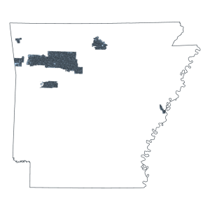
Ozark National Forest Service Stands (polygon)
Downloadable Data! Add to cart -
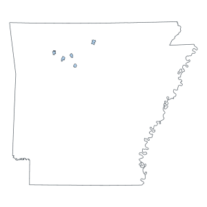
Ozark National Forest Wilderness Area (polygon)
Downloadable Data! Add to cart -
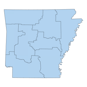
Planning Development District (polygon)
Downloadable Data! Add to cart -
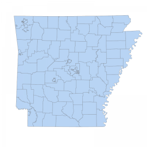
Public Safety Answering Point (PSAP) 911 Area Boundary (polygon)
Downloadable Data! Add to cart -
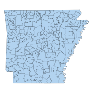
Public School District Boundary (polygon)
Downloadable Data! Add to cart -
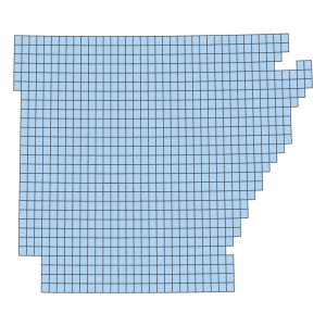
Quadrangle Boundary (polygon)
Downloadable Data! Add to cart -
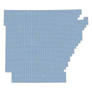
Quarter Quadrangle Boundary (polygon)
Downloadable Data! Add to cart -
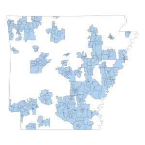
School Board Zones 2011
Downloadable Data! Add to cart -
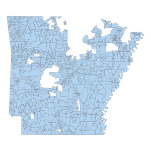
School Board Zones 2022
Downloadable Data! Add to cart -
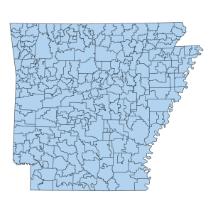
School District- 2010 Census ARCHIVED
Downloadable Data! Add to cart -
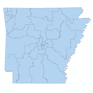
Senate Districts
Downloadable Data! Add to cart -
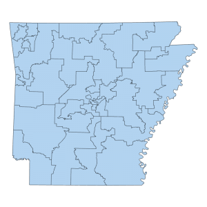
Senate Districts 2011
Downloadable Data! Add to cart

