Data Description
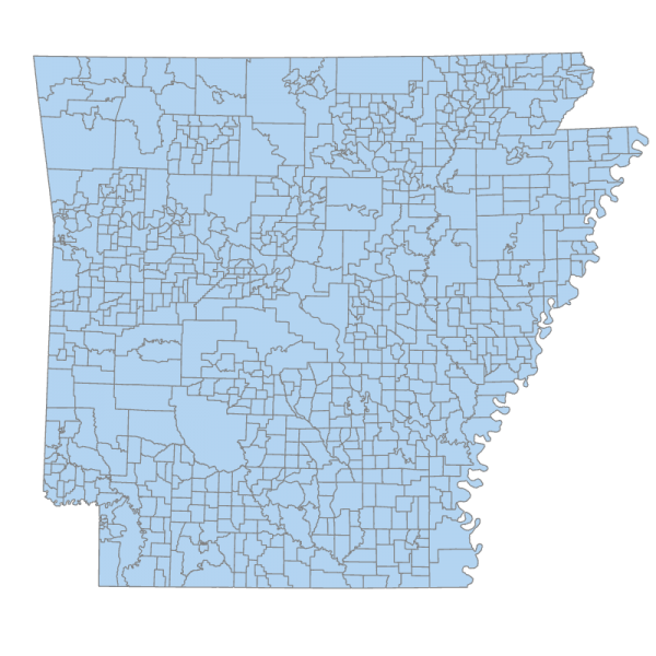
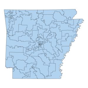
This dataset contains polygons representing Constable boundaries, also called Townships, for the State of Arkansas. By Arkansas Constitutional Article 7 § 47, “the qualified electors of each Township shall elect the Constable for the term of two years, who shall be furnished, by the presiding Judge of the County Court, with a certificate of election, on which his official oath shall be endorsed.” Constable positions are constitutional non-commissioned offices that usually serve a limited role in law enforcement in the county for which they serve.
Townships should not be mistaken for Townships related to the Public Land Survey System (PLSS). In terms of the PLSS, a township is a six-mile square area of land that a land surveyor has surveyed and numbered. Townships, in the case of Constables, are boundaries used for elections and administrative purposes.
This data was initially compiled using U.S Census Bureau’s Minor Civil Division data vintage 2022 and updated to align with county boundaries as maintained by this office. Because townships can be altered by County Court Orders, modifications were made based on County Court Orders that merged or altered existing Townships for election administration.
Historic townships data can be found at the below links
U.S. Census Bureau (MCD)
https://www.census.gov/geographies/mapping-files/time-series/geo/tiger-line-file.html
Keywords: Boundaries, Elections, Townships, Constables, County

