Click Here To Subscribe To News And Data Updates!
View Cart “PLSS: First Division- Sections, BLM” has been added to your cart.
PLSS: Intersected, BLM

PLSS: Intersected, BLM

Downloadable Data!


Updated: 2014-10-16 14:48:00

Publisher: Bureau of Land Management via Arkansas GIS Office

Publication Date: 10-Jun-14

REST Endpoint
SKU: PLSS_INTERSECTED_BLM Category:

Data Description

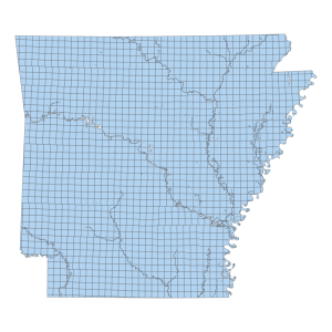
PLSS: Intersected, BLM

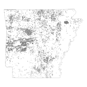
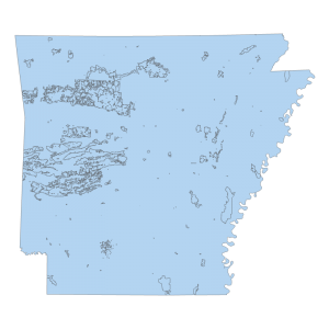
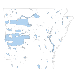
The fully intersected data is the atomic level of the PLSS that is similar to the coverage or the smallest pieces used to build the PLSS. Polygons may overlap in this feature class.

[Keywords: planningCadastre ]