Data Description
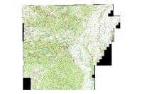
Image Service created from the GLO Statewide dataset. The source data can be found here (http://gis.arkansas.gov/?product=glo-plats-statewide-2)
Below is the REST endpoint for the GLO Image Service
http://gis.arkansas.gov/arcgis/rest/services/ImageServices/GLO/ImageServer
[Keywords: GLO, General Land Office, Commissioner of State Lands, Historic, Tiff Collared statewide Townships, Ranges government Land Office plats mosaic image raster download cadastral boundaries location Web Service, Image Service]

