Data Description
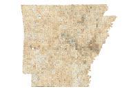
GLO Plats Statewide
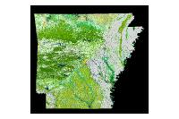
Mosaic dataset of GLO plats with collars off.
Spatially georeferenced General Land Office Township plat images to their relative location on earth to display townships and various natural and cultural entities in Arkansas as they were mapped in the 1800s.
[Keywords: GLO, General Land Office, Commissioner of State Lands, Historic, Tiff Collared statewide Townships, Ranges government Land Office plats mosaic image raster download cadastral boundaries location]

