Data Description
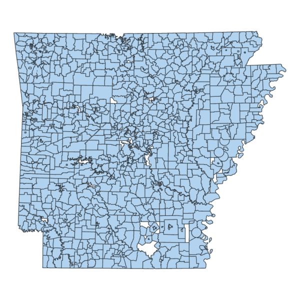
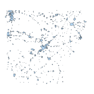
Fire District (polygon) – This data is available for historical purposes only. It is not maintained. Users should use the more current boundaries found here:
This data set represented the fire districts throughout the State of Arkansas. The Geographic Information Systems (GIS) Lab at the University of Arkansas, Little Rock, formerly maintained the fire districts layer in the state. These were maintained for the Local Police & Fire Retirement System (LOPFI) and used to estimate population within fire districts that participated in that retirement system. Effective in 2023, the LOPFI system no longer uses that information, and the 94th General Assembly adopted Act 39 of 2023 which eliminated that obsolete mapping requirement.
[Keywords: boundaries emergency 911 fires pension review board disaster responder response districts fire LOPFI Arkansas Local Police and Fire Retirement System Arkansas Forestry Commission AFC forest ]

