Data Description
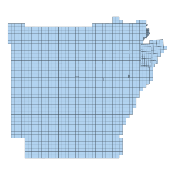
This represents the Tile Index/Footprint of all tiles for the 1 M Digital Elevation Model data that was downloaded and acquired from the USGS National Map / 3DEP collection effort. This footprint can be used to identify the respective tiles that correspond to the area of interest. You can view this footprint and the DEM service/tiles it corresponds to by clicking the red button.
[Keywords: elevation surface model dem LIDAR ]

