Data Description
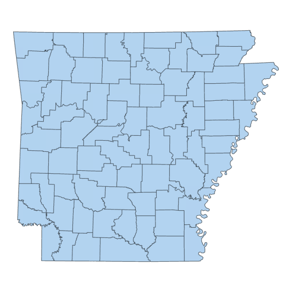
County Boundary (polygon) This data is available for historical purposes only. It is not maintained. Users should use the more current boundaries found here:
Data available online through GeoStor at http://www.geostor.arkansas.gov. AHTD County Boundaries for year end 2000 information. This file contains location information for County Boundaries in the state of Arkansas. These locations were extracted from the Arkansas Highway and Transportation Department county mapping files for the year 2000.
[Keywords: boundaries county boundary boundaries counties Ashley Baxter, Benton, Boone, Bradley Calhoun, Carroll, Chicot, Clark, Clay, Cleburne, Cleveland, Columbia, Conway, Craighead, Crawford, Crittenden, Cross Dallas, Desha, Drew Faulkner, Franklin, Fulton Garland, Grant, Greene Hempstead, Hot Spring, Howard Independence, Izard Jackson, Jefferson, Johnson Lafayette, Lawrence, Lee, Little River, Lincoln, Logan, Lonoke Madison, Marion, Miller, Mississippi, Monroe, Montgomery Nevada, Newton Ouachita, Perry, Phillips, Pike, Poinsett, Polk, Pope, Prairie, Pulaski Randolph, Saline, Scott, Searcy, Sebastian, Sevier, Sharp, St. Francis, Stone Union, Van Buren, Washington, White, Woodruff, Yell AHTD ]


