Data Description
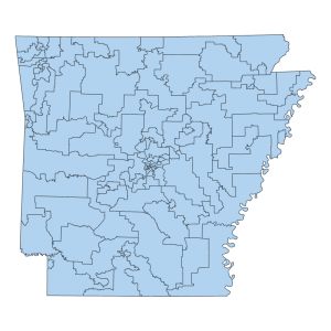
These polygons represents areas .5 acres and greater where edits to the County Boundary were made for the purpose of small spatial alignment changes based on new, enhanced or improved supporting base map data, such as orthoimagery, public land survey system (PLSS), or precision PLSS corner control data that improves the spatial accuracy of the existing geometry. For more information regarding the effort please see:
PUBLIC DOMAIN

