Data Description
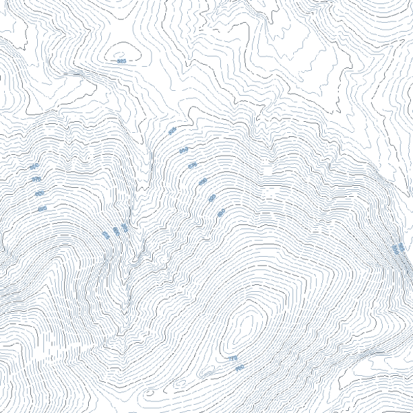
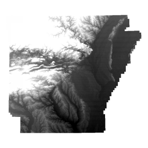
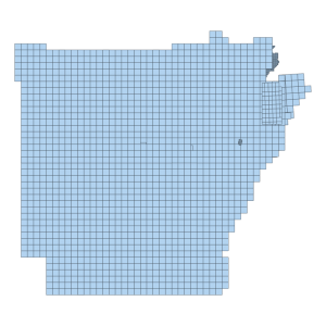
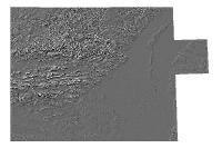
This dataset represents the NED tiled zipped shapefiles representing Contours for Arkansas with a 5 foot interval as derived with 1 meter elevation data that was collected and compiled under the auspices of the 3DEP, This data was acquired from USGS The National Map using the 1M National Elevation Dataset Tiles that were derived from the aforementioned elevation data collection projects. The contours are in a UTM15 coordinate system with all elevations values in feet. The input 1 meter Digital Elevation Model data was converted from meters to feet and then smoothed in a 9 X 9 grid to produce a more cartographically pleasing output.
Statewide 5 Foot contours produced by the Arkansas GIS Office using the USGS 1 Meter National Elevation Dataset tiles and other elevation datasets.
To view and/or download please visit https://experience.arcgis.com/experience/2b507a6e56bc45ef8dcfc55c421e7246/

