Data Description
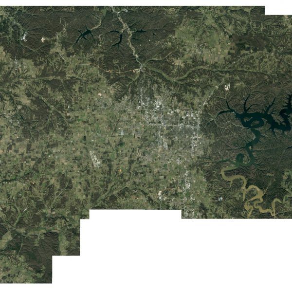
Benton County: Six Inch Countywide Orthos 2015 (raster)
This dataset is MrSID Generation-2 (50:1) digital orthoimage mosaic produced for Benton County, AR in 2015. This 1:1200 scale orthoimagery is comprised of 3-band (Red, Blue Green(RGB)) color digital images collected with a Ground Sample Distance (GSD) of 0.5′. Imagery was collected with Leica ADS100 digital sensor and processed with Leica XPro software.
Access is also available using an Image Service here:
http://gis.arkansas.gov/arcgis/rest/services/ImageServices/High_Resolution_Composite/ImageServer
[Keywords: Aerial Ortho Orthos Photos Photography Aerials Aerial Photos Ortho Photos Aerial Photo Ortho Photo Aerial Photography Ortho Photography Imagery Image Aerial Imagery Orthoimagery Benton County]

