Data Description
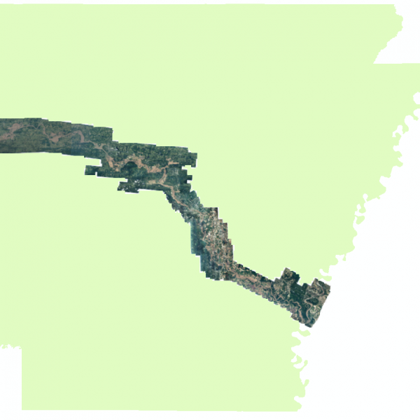
This product is a 15cm pixel resolution digital orthoimagery produced on behalf of the State of Arkansas by the Sanborn Map Company in support of the 2019 May Arkansas River Flood. The orthoimagery provided is 3-band (R, G, B), 8-bit per pixel and delivered in section tiles in uncompressed compressed SID/SDW (40:1) and uncompressed GeoTiffs upon requests. The data was collected between May 31st and June 10th over the Arkansas River during the record setting flooding observed during the imagery collection period by the Arkansas Department of Transportation. This orthoimagery is published in Universal Transverse Mercator Zone 15N, NAD 83, meters and is available for download in a MrSID format, GeoTIFF with the NIR band are available upon request.
Click Here to View MapClick Here to View Tile FootprintClick Here to View PhotoCenters
[Keywords: flood, Arkansas River, Imagery, May, 2019 ]

