Data Description
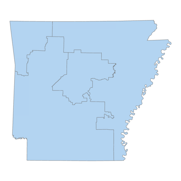
2021 Arkansas Congressional Districts
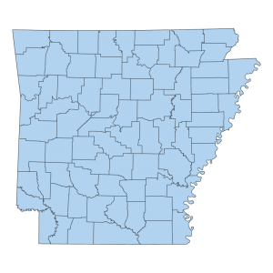
This file depicts the redistricted boundary of the four (4) Congressional Districts of Arkansas enacted by Act 1116 of the 93rd General Assembly of the State Legislature on October 13th, 2021. The file contains attribute information about the districts such as district number and other related information.
https://www.arkleg.state.ar.us/Bills/Detail?id=SB743&ddBienniumSession=2021%2F2021R
In an opinion issued by the Arkansas Attorney General Leslie Rutledge that stipulates the four (4) Congressional Districts covered under Act 1116 will become effective January 14th, 2022. To read this opinion and the conditions that warrant such a deterimination please click the below link.
https://geostor-uploads.s3.amazonaws.com/misc/Arkansas_AG_opinion_2021-092.pdf
Correction of Scrivener’s Error Notice: Act 1116 of the 93rd General Assembly, PAGE 1, LINE 33, Pulaski County Election Precinct 47 was incorrectly mapped to the Second Congressional District. Precinct 47 error corrected to First Congressional District on 12/12/2022. Users who downloaded the Congressional Districts GIS data prior to this correction date are advised to download a corrected version.
[Keywords: Congressional 118th Congress election elections redistricting U.S. United States districts Boundaries ]

