Data
Showing 97–108 of 418 results
-
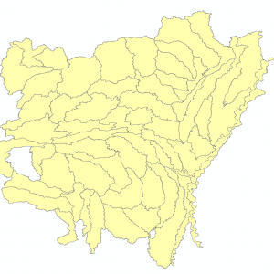
8 Digit Watershed Boundary Dataset 2017 (polygon)
Downloadable Data! Add to cart -
8-12 Digit Watershed Boundary Dataset 2017 (polygon)
Downloadable Data! Add to cart -
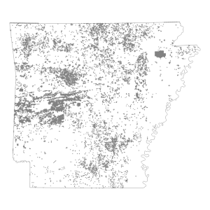
PLSS Corner Control Points
Downloadable Data! Add to cart -
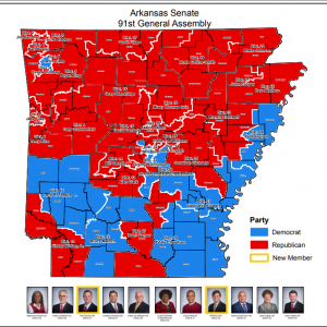
Senate District Maps (91st General Assembly: 2017)
Read more -
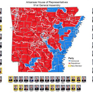
House of Representatives District Map (91st General Assembly: 2016)
Read more -
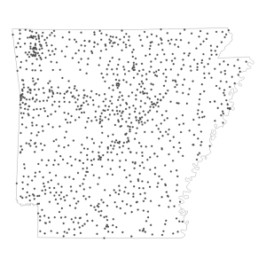
Fire Station NG911 (point)
Downloadable Data! Add to cart -
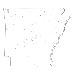
Municipal Boundary Changes (Polygon)
Downloadable Data! Add to cart -
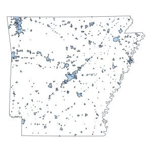
Municipal Boundaries (Polygon)
Downloadable Data! Add to cart -
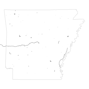
Arkansas Trails
Downloadable Data! Add to cart -
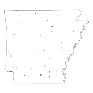
Natural Areas (Polygon)
Downloadable Data! Add to cart -
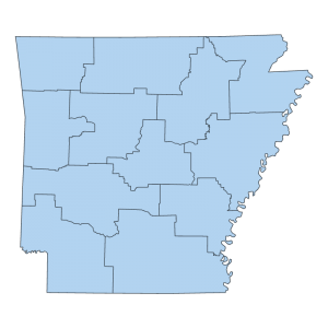
State Police Highway Patrol Troop Boundaries (polygon)
Downloadable Data! Add to cart -
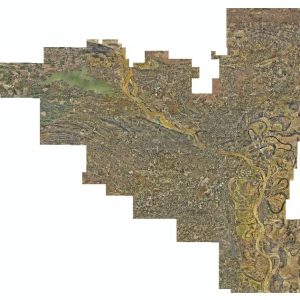
Pulaski County: Three inch/Six inch Countywide Ortho 2016 (raster)
Read more

