Data
Showing 25–36 of 418 results
-
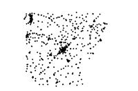
Public School (point)
Downloadable Data! Add to cart -
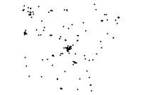
Private School (point)
Downloadable Data! Add to cart -
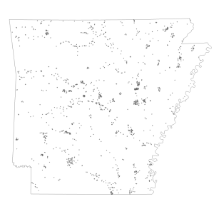
Outdoor Recreational Facilities
Downloadable Data! Add to cart -
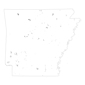
AGFC Gates And Barriers
Downloadable Data! Add to cart -
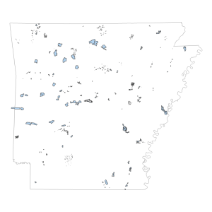
WMA Management Features
Downloadable Data! Add to cart -
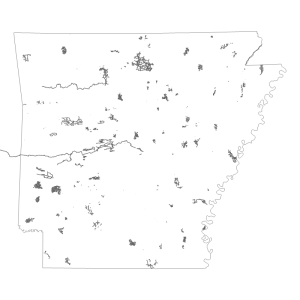
Outdoor Recreation Access
Downloadable Data! Add to cart -
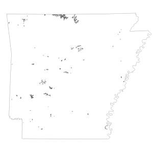
Fish Attractors
Downloadable Data! Add to cart -
Arkansas Game and Fish Buildings
Downloadable Data! Add to cart -
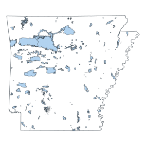
Wildlife Management Area Boundary (polygon)
Downloadable Data! Add to cart -
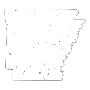
Natural Areas (Polygon)
Downloadable Data! Add to cart -
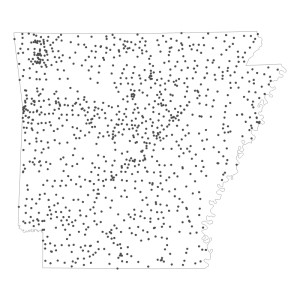
Fire Station NG911 (point)
Downloadable Data! Add to cart -
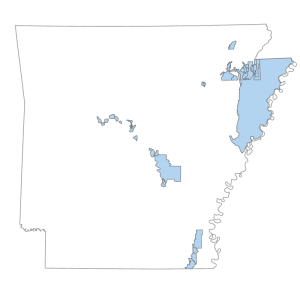
Levee Districts
Downloadable Data! Add to cart

