Data
Showing 313–324 of 418 results
-
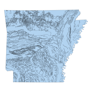
Geology 1976 (polygon)
Downloadable Data! Add to cart -
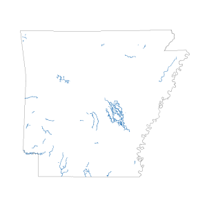
Use Attainability Analysis Segments (line)
Downloadable Data! Add to cart -
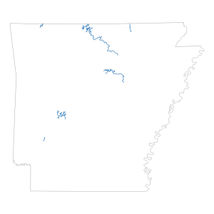
Trout Streams (line)
Downloadable Data! Add to cart -
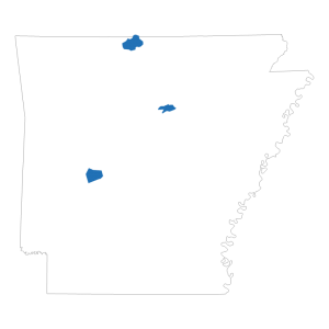
Trout Lakes (polygon)
Downloadable Data! Add to cart -
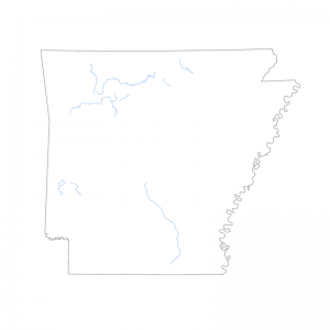
Natural and Scenic Streams (line)
Downloadable Data! Add to cart -
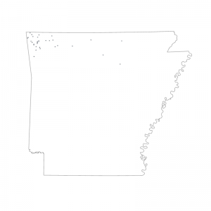
Ecologically Sensitive Springs and Seeps (polygon)
Downloadable Data! Add to cart -
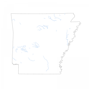
Ecologically Sensitive Streams (line)
Downloadable Data! Add to cart -
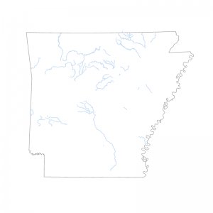
Extraordinary Resource Waters Streams (line)
Downloadable Data! Add to cart -
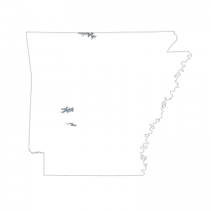
Extraordinary Resource Waters Lakes (polygon)
Downloadable Data! Add to cart -
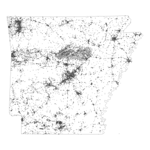
Environmental Permitted Site (point)
Downloadable Data! Add to cart -
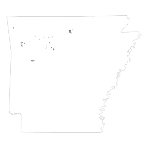
Ozark National Forest Special Intrest Area (polygon)
Downloadable Data! Add to cart -
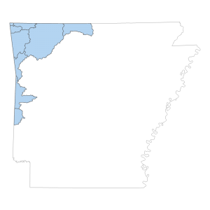
Nutrient Surplus Area (polygon)
Downloadable Data! Add to cart

