Data
Showing 289–300 of 418 results
-
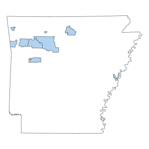
Ozark National Forest Boundary (polygon)
Downloadable Data! Add to cart -
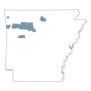
Ozark National Forest Service Compartments (polygon)
Downloadable Data! Add to cart -
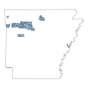
Ozark National Forest Service Management Area (polygon)
Downloadable Data! Add to cart -
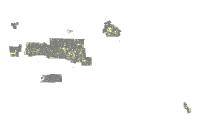
Ozark National Forest Service Ownership (polygon)
Downloadable Data! Add to cart -
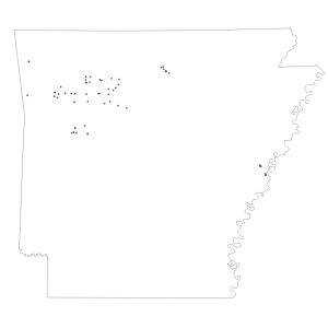
Ozark National Forest Service Recreation Site (point)
Downloadable Data! Add to cart -
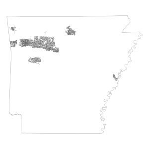
Ozark National Forest Service Road (line)
Downloadable Data! Add to cart -
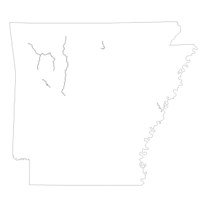
Ozark National Forest Service Scenic Byway (line)
Downloadable Data! Add to cart -
Ozark National Forest Service Scenic River Corridor (polygon)
Downloadable Data! Add to cart -
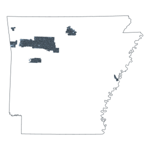
Ozark National Forest Service Stands (polygon)
Downloadable Data! Add to cart -
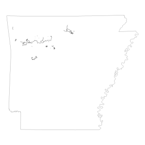
Ozark National Forest Service Trail (line)
Downloadable Data! Add to cart -
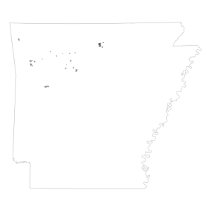
Ozark National Forest Special Intrest Area (polygon)
Downloadable Data! Add to cart -
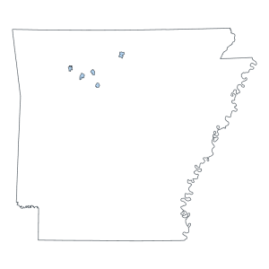
Ozark National Forest Wilderness Area (polygon)
Downloadable Data! Add to cart

