Data
- View Cart You cannot add another "Arkansas Trails" to your cart.
Showing 193–204 of 418 results
-
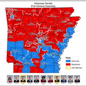
Senate District Maps (91st General Assembly: 2017)
Read more -
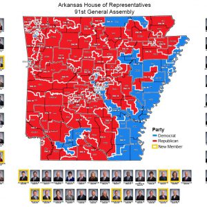
House of Representatives District Map (91st General Assembly: 2016)
Read more -
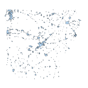
Historical City Limit ARCHIVED
Read more -
Arkansas Trails
Downloadable Data! Add to cart -

Historic Districts Polyline AHPP
Downloadable Data! Add to cart -
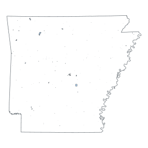
Historic District Polygon AHPP
Downloadable Data! Add to cart -
Cross Section Lines
Downloadable Data! Add to cart -

Soil Map for Property Tax Assessment (polygon)
Downloadable Data! Add to cart -
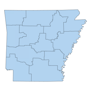
State Police Highway Patrol Troop Boundaries (polygon)
Downloadable Data! Add to cart -
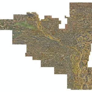
Pulaski County: Three inch/Six inch Countywide Ortho 2016 (raster)
Read more -
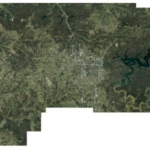
Six Inch Benton County Orthos 2015 (raster)
Read more -
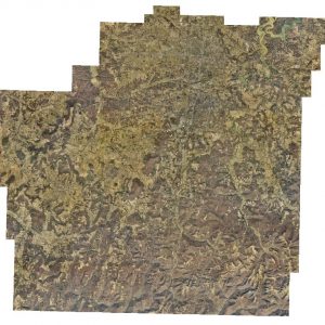
Washington County: Six Inch / One Meter Countywide Orthos 2016 (raster)
Read more

