- View Cart You cannot add another "Soil Map for Property Tax Assessment (polygon)" to your cart.
Showing 385–396 of 420 results
-
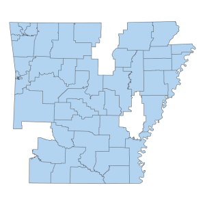
State District Courts 2021 (Polygons)
Downloadable Data! Add to cart -
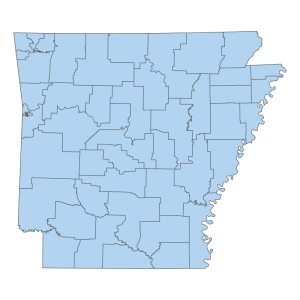
State District Courts 2025 (Polygons)
Downloadable Data! Add to cart -
State Owned or Leased Facility (point)
Downloadable Data! Add to cart -
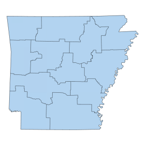
State Police Highway Patrol Troop Boundaries (polygon)
Downloadable Data! Add to cart -

Statewide 2006 Color Infra-Red Ortho Geotiff Footprint (polygon)
Downloadable Data! Add to cart -
Statewide 2006 Color Natural Color Geotiff Footprint (polygon)
Downloadable Data! Add to cart -
Statewide Color Infra-Red Ortho 2006 (raster)
Read more -
Statewide Color Infra-Red Ortho Geotiff Footprint JPG2000 DOQQ 2006 (polygon)
Downloadable Data! Add to cart -
Statewide Natural Color Ortho 2006 (raster)
Read more -
Statewide Ortho 2000 (raster)
Read more -
Statewide Ortho Metadata 1994 (polygon)
Downloadable Data! Add to cart -
Statewide Ortho Metadata 2000 (polygon)
Downloadable Data! Add to cart

