Data Description
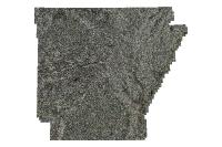
Statewide Natural Color Ortho 2006 (raster)
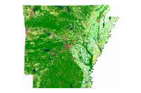
Orthophotos combine the image characteristics of a photograph with the geometric qualities of a map. The primary digital orthophoto quarter quadrangle (DOQQ) is a1-meter ground resolution, quarter-quadrangle (3.75 minutes of latitude by 3.75 minutes of longitude) image cast on the Universal Transverse Mercator projection (UTM) on the North American Datum of 1983 (NAD83). The geographic extent of the DOQQ is equivalent to a quarter-quadrangle plus the over edge ranges from a minimum of 50 meters to a maximum of 300 meters beyond the extremes of the primary and secondary corner points. The over edge is included to facilitate tonal matching for mosaicing and for the placement of the NAD83 and secondary datum corner ticks. The normal orientation of data is by lines (rows) and samples (columns). Each line contains a series of pixels ordered from west to east with the order of the lines from north to south. This series of DOQQs was produced as a part of the Arkansas Digital Orthophotography Program headed by the Arkansas State Land Information Board and the Arkansas Geographic information Office. The aerial photography used to create the digital images was flown between January 15th and March 31st in 2006.
[Keywords: imageryBaseMapsEarthcover DOQ DOQQ Aerial Ortho Orthos Photos Photography Aerials Doq Doqq Aerial Photos Ortho Photos Aerial Photo Ortho Photo Aerial Photography Ortho Photography Imagery Image Aerial Imagery Orthoimagery ADOP adop 2006 county imagery ]

