Showing 109–120 of 420 results
-
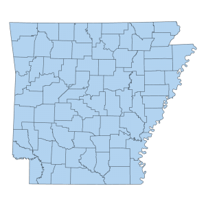
County Boundary (Polygons)
Downloadable Data! Add to cart -
County Boundary Change (Polygons)
Downloadable Data! Add to cart -
Cross Section Lines
Downloadable Data! Add to cart -
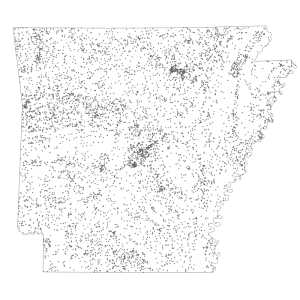
Cultural Feature (point)
Downloadable Data! Add to cart -
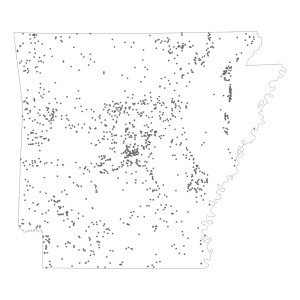
Dam (point)
Downloadable Data! Add to cart -
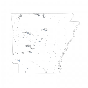
DEQ Water Base Layer Lakes
Downloadable Data! Add to cart -
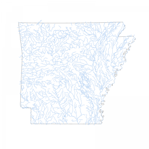
DEQ Water Base Layer Streams
Downloadable Data! Add to cart -
DFIRM Panel Scheme
Downloadable Data! Add to cart -
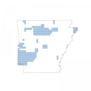
Digital Geologic Map File Footprints
Downloadable Data! Add to cart -
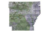
Digital Raster Graphic 24K- Hillshade (Raster)
Read more -
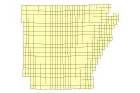
Digital Raster Graphic 24K- Metadata (polygon)
Downloadable Data! Add to cart -
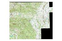
Digital Raster Graphic: 100K (raster)
Read more

