Data Description
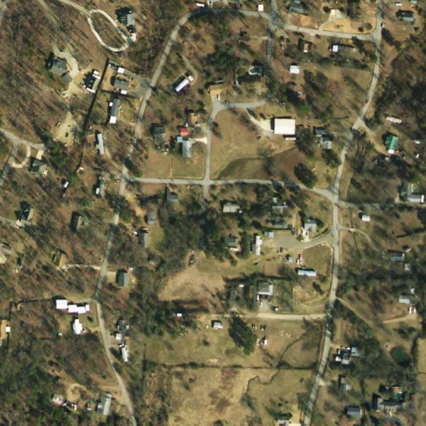
Montgomery County: One Foot Orthos 2010 (raster)
Orthophotos combine the image characteristics of a photograph with the geometric qualities of a map. This imagery was flown in 2010.
[Keywords: Aerial Ortho Orthos Photos Photography Aerials Aerial Photos Ortho Photos Aerial Photo Ortho Photo Aerial Photography Ortho Photography Imagery Image Aerial Imagery Orthoimagery Montgomery County]

