Data Description
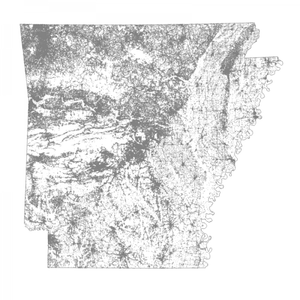
This dataset represents Building Footprints in the State of Arkansas that were extracted from Ortho Imagery and published by Microsoft and FEMA with its partners. This dataset is composite of the 2 datasets in order to isolate and publish a more comprehensive building footprint layer in a single dataset than available in the 2 datasets individually. The FEMA USA Structures dataset is available at https://gis-fema.hub.arcgis.com/pages/usa-structures and the Microsoft dataset is available at https://github.com/microsoft/USBuildingFootprints. The data includes a field that captures the date of the ortho Imagery that was used to extract the Building Footprints by their respective organizations.
Building Footprints from both datasets were clipped out for the State of Arkansas, Then each building footprint polygon was converted into a centroid. After which a buffer analysis was conducted to identify Building Footprints represented in the FEMA dataset that were not in the Microsoft dataset. This identified nearly 300,000 more building footprints in the FEMA dataset that were appended to the Microsoft Building footprint dataset. The Microsoft dataset schema was modified to include a field that represents the source of the Footprint . Additionally the data was projected to the NAD 83 UTM Zone 15N prior to publication. Future updates or additional sources of building footprints provided by willing entities will be considered for inclusion or in an addition to this dataset.


