Data Description
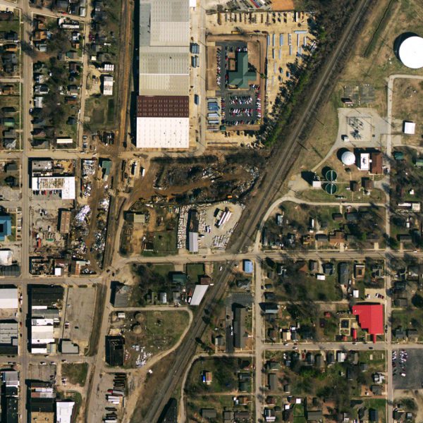
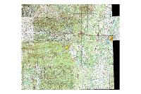
This dataset consists of 1 foot orthorectified imagery of Greene County collected the winter of 2018/19 by EFS GeoTechnologies (http://www.efsgeotech.com/).
Click Here to View Tile Footprint
[Keywords: Aerial Ortho Orthos Photos Photography Aerials Aerial Photos Ortho Photos Aerial Photo Ortho Photo Aerial Photography Ortho Photography Imagery Image Aerial Imagery Orthoimagery Paragould City of Paragould, Paragould Light and Water]

