Data Description
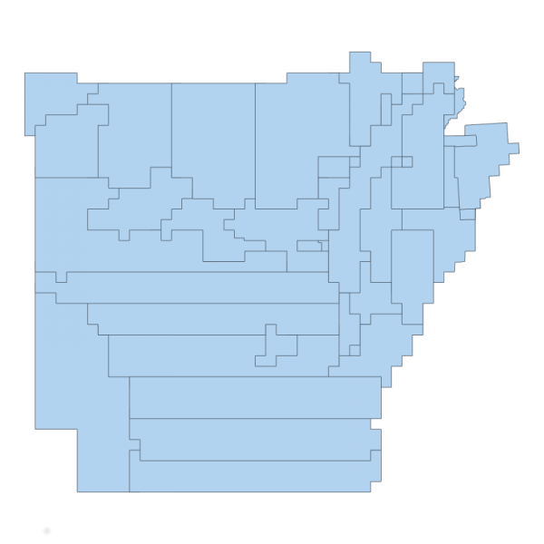
This represents the Project Extents for all LiDAR collection projects that are related to the creation of the DEMs documented in this archive. this data set is valuable to isolate which region of Arkansas the data represents. This is a function of how the LiDAR data was collected, organized and delivered and should be used as a frame of reference only.
[Keywords: elevation surface model dem LIDAR ]


