Data Description
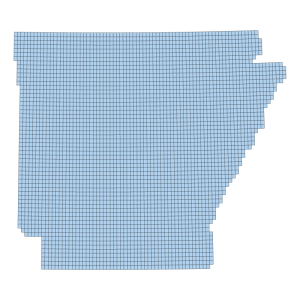
2019 City of Hot Springs Contours (line)
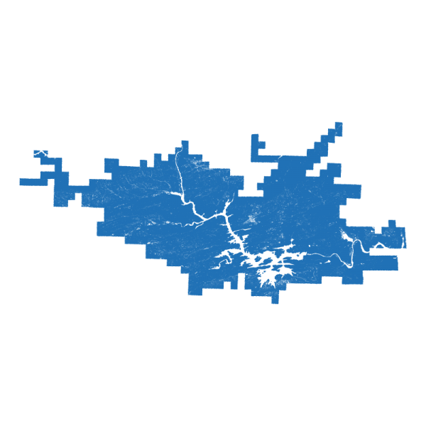
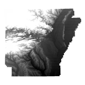
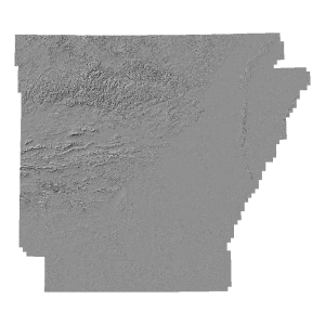
This metadata record describes the topographic mapping of Hot Springs, AR during 2018/19. Products generated include lidar point clouds in LAS 1.0 format, random-spacing ASCII bare earth DEM, gridded DEM in ASCII format, 2 foot contours using lidar collected with a Leica ALS-50 Aerial Lidar Sensor.
[Keywords: lidar DEM Topographic bare earth LAS ASCII elevation ]

