GeoWeb Heats Up When the Weather is Sour
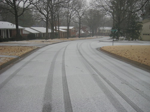
The January 29th weather event sweeping across the state has produced a high number of hits and searches across the geo-enabled landscape of the state. Why? Well the answer runs the gambit from curiosity, causal weather watchers and Internet junkies passing the time, to critical decision makers who are consuming relevant mapped information to marshal resources where they’re needed.
Web mapping systems are rendering maps as fast as they can during bad weather like Arkansas is experiencing now.
Here are some event relevant mashups AGIO is following:
State Network Status Map
AHTD Road Conditions
Here are a few GeoWeb Electric Utility Outage Reporting Systems
Ozarks
Carroll
Entergy
These systems represent authoritative sources or sensor networks that are automatically generating geospatial content.
But taken a step further there seems to be a growing number of crowd-sourced geospatial information being fed into the net.
Savvy NextGen users have enabled geotagged Tweets, TweetPics and Flickr photos that report recent conditions. Its this segment of the event that is fascinating. Smartphone users who enjoy being connected with their friends have enabled the GPS on their mobile devices. Their casual social activity very well could be the next important feed for gathering and collecting information. You might think of this group as #RovingReporter 2.0 with their hash tags of #nwaicestorm10, #ARwx, #wxreport and #icestorm all lighting up as live dots on the virtual map.
To see examples of these take a look here:
http://trendsmap.com/
http://smalltalkapp.com/#all
http://beta.twittervision.com/
And to better understand how these tools work visit Twitter’s explanation on Geotagging.
So what’s next? Well… frankly, harnessing the potential of #RovingReporter 2.0 to collect valuable geospatial knowledge will take leadership and advanced planning on the hash tags. A perfect example in this weather event is the communications branch of the Arkansas Department of Emergency Management who listened to their Tweetiverse and put out the notice they would be using #ARwx for this event. The more clever tags get ReTweeted often enough their use grows organically. #snowpocalypse2010 is a good example. The other key is users geo-enabling their devices so the latitude-longitude string is carried with the mobile Tweet.
As this event carries on hopefully you’ll have some time in between hot chocolate and brownies to explore and learn how the GeoWeb could be useful in your life.