Data Description
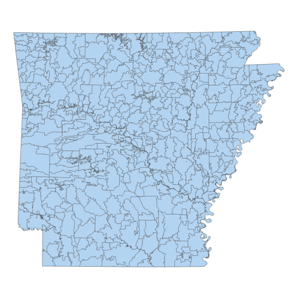
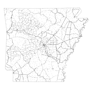
ZIP CODE TABULATION AREAS 2001 (polygon)
A ZIP Code tabulation area (ZCTA) is a statistical geographic entity that approximates the delivery area for a U.S. Postal Service five-digit or three-digit ZIP Code. ZCTAs are aggregations of census blocks that have the same predominant ZIP Code associated with the addresses in the U.S. Census Bureau’s Master Address File (MAF). Three-digit ZCTA codes are applied to large contiguous areas for which the U.S. Census Bureau does not have five-digit ZIP Code information in its MAF. ZCTAs do not precisely depict ZIP Code delivery areas, and do not include all ZIP Codes used for mail delivery.
[Keywords: location society zip code postal zcta zipcodes ]

