Data Description
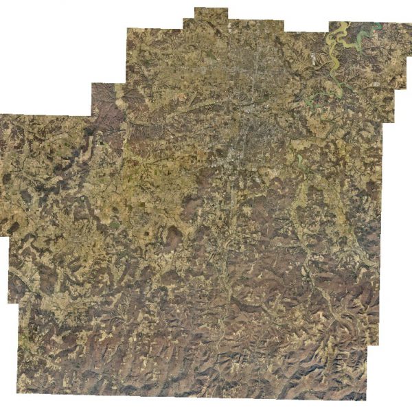
Washington County: Six Inch – One Meter Countywide Orthos 2016 (raster)
The dataset consists of tiled orthogonal imagery produced from nadir images captured by Pictometry International. This imagery was flown in 2016.
Access is also available through an Image Service here:
https://gis.arkansas.gov/arcgis/rest/services/ImageServices/High_Resolution_Composite/ImageServer
[Keywords: Aerial Ortho Orthos Photos Photography Aerials Aerial Photos Ortho Photos Aerial Photo Ortho Photo Aerial Photography Ortho Photography Imagery Image Aerial Imagery Orthoimagery Washington County]

