Data Description
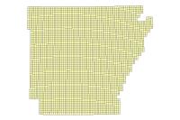
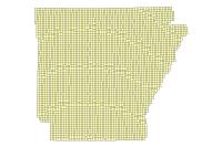
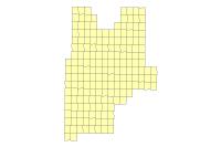
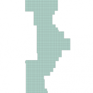
Statewide Ortho Metadata 1994 (polygon)
Data available online through GeoStor at http://www.geostor.arkansas.gov. This layer represents the vector footprint of each Digital Orthophoto Quarter-Quadrangle, along with attributes corresponding to the acquisition date, quadrangle name, publication date, corner coordinates, and center point coordinates of the image.
[Keywords: imageryBaseMapsEarthcover ]


