Data Description
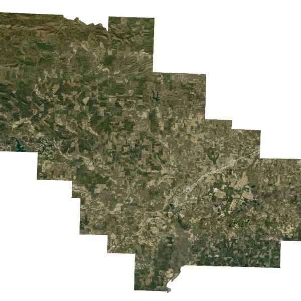
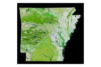
This dataset consists of one foot natural-color orthophotos for Saline County, AR, consisting of 70 GeoTiff files, developed in tiles and subsets of USGS quarter-quadrangle sheets. All images were acquired on January 16, 2015. All images were collected between 10:00 AM to 2:00 PM to minimize shadows. All images were obtained under cloud-free conditions by The Sanborn Map Company, Inc.
[Keywords: Aerial Ortho Orthos Photos Photography Aerials Aerial Photos Ortho Photos Aerial Photo Ortho Photo Aerial Photography Ortho Photography Imagery Image Aerial Imagery Orthoimagery Saline County]

