Data Description
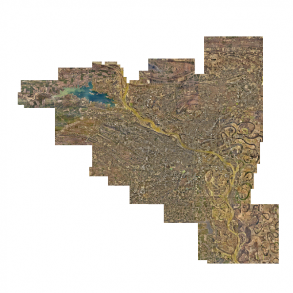
The dataset consists of tiled orthogonal imagery produced from nadir images captured by Pictometry International in January of 2015. Spatial resolution of the imagery is 3 inches in the urban corridor and 6 inches in the rural areas. Automatic aerial triangulation (AAT) was performed. The triangulated frames were rectified to a LiDAR derived DEM. In areas where the LiDAR DEM was unavailable, a photogrammetrically derived DEM was substituted. Mosaicking was performed using an automatic seaming algorithm and manually edited to eliminate seams through elevated features and critical features where possible. Credits to Pulaski County Assessor’s Office, Pulaski Area GIS, PAgis, Central Arkansas Water, City of Jacksonville, City of Little Rock, City of North Little Rock, City of Sherwood, Little Rock Wastewater, North Little Rock Wastewater, Pulaski County Public Works, and Arkansas National Guard / Camp Robinson. Uses include feature extraction and mapping, cartography, GIS basemap, and other uses. Use of this data is unrestricted with the exception of data reselling. The data is constrained by the license agreements between Pictometry International and the Pulaski County Assessor’s Office.
[Keywords: Aerial Ortho Orthos Photos Photography Aerials Aerial Photos Ortho Photos Aerial Photo Ortho Photo Aerial Photography Ortho Photography Imagery Image Aerial Imagery Orthoimagery Pulaski County]

