Data Description
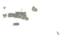
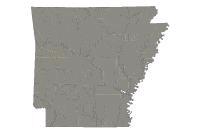
Ozark National Forest Service Ownership (polygon)
This layer is the Ozark-St. Francis National Forest ownership polygons. Shows ownership pertaining to National Forest System lands within the forest boundary. Categorized by Forest Service, Public Domain and Private.
[Keywords: ownership boundaries planningCadastre ]


