Data Description
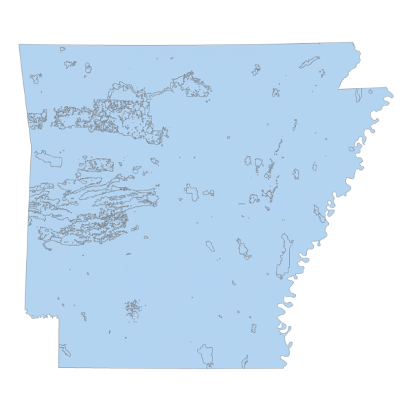
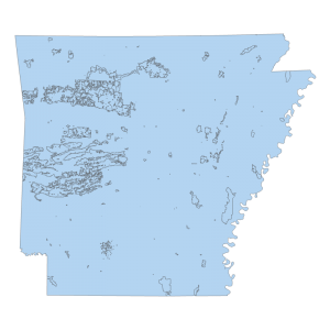
Ownership 1995 (polygon)
Data available online through GeoStor at http://www.geostor.arkansas.gov. This layer depicts land ownership for the State of Arkansas, which is a compilation of numerous State and Federal lands, as well as private ownership.
[Keywords: planningCadastre cadastral cadastre forest ]

