Data Description
Ortho Footprint for Files on GeoStor FTP
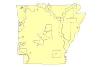
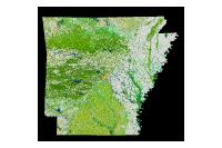
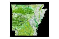
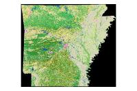
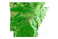
This dataset represents a vector footprint of all digital orthos available on the GeoStor File Transfer Protocol (ftp) site. The name of the file and full path are provided to each file type.
[Keywords: imageryBaseMapsEarthcover DOQ DOQQ Aerial Orthos Photos Photography FTP statewide County City Flood historic Tornado index 1990 2000 2001 2002 2003 2004 2005 2006 2007 2008 2009 2010 ]

