Data Description
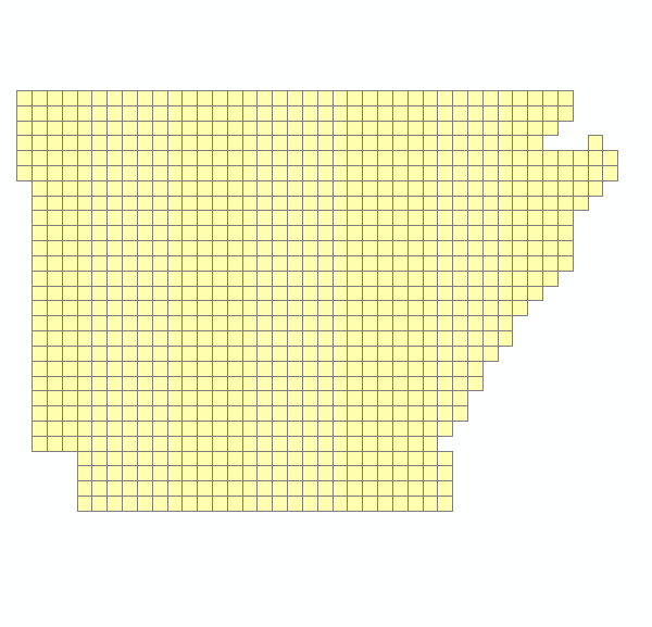
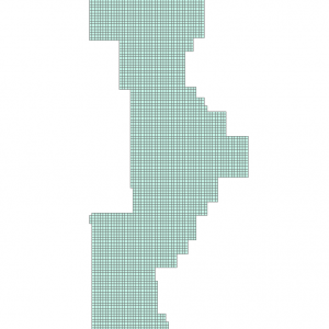
This is the Quad Index/Footprint that corresponds to IMAGERY NHAP 1980 1986. For additional information regarding the nature of that product please see http://gis.arkansas.gov/product/imagery_nhap_1980_1986.
This dataset will facilitate the identification and download of tiles that are represented by features within this imagery collection.
[Keywords: imagery BaseMaps Earthcover DOQ DOQQ Aerial Ortho Orthos Photos Photography Aerials Doq Doqq Aerial Photos Ortho Photos Aerial Photo Ortho Photo Aerial Photography Ortho Photography Imagery Image Aerial Imagery Orthoimagery ADOP adop 2017 county imagery Sanborn six inch 6 in High Resolution footprint photo center ]

