Data Description
Landform (point)
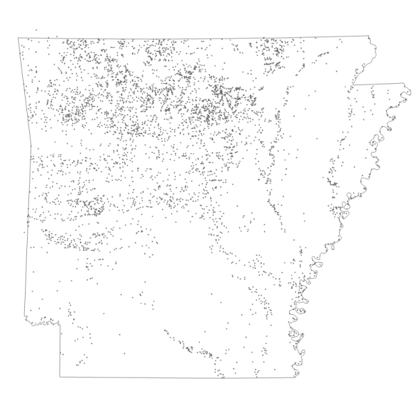
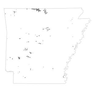
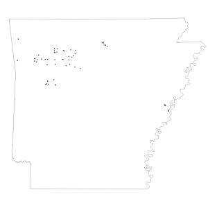
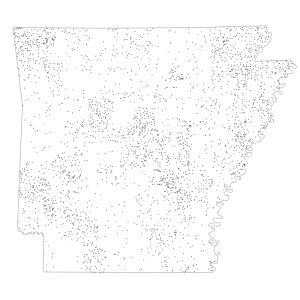
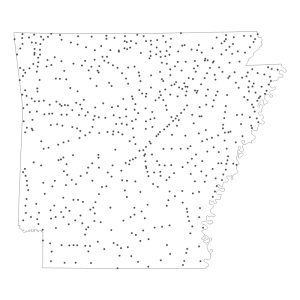
The Geographic Names Information System (GNIS) is the Federal standard for geographic nomenclature in support of the U.S. Board on Geographic Names. The Landforms layer (LANDFORM) in the GNIS Web Map Service contains all features in the database with Feature Class of Arch, Area, Arroyo, Bar, Basin, Beach, Bench, Bend, Cape, Cliff, Crater, Flat, Gap, Island, Isthmus, Lava, Levee, Pillar, Plain, Range, Ridge, Slope, Summit, Valley, Woods. See http://geonames.usgs.gov/domestic/feature_class.htm for feature class values and definitions. The LANDFORM_FEATURE250 layer contains large features designated by the Geographic Names Office as ones that should be labeled on maps or displays with a scale of 1:250,000. See http://geonames.usgs.gov for additional information.
[Keywords: geoscientificInformation inlandWaters Arch Area Arroyo Bar Basin Beach Bench Cape Cliff Crater Flat Gap Island Isthmus Lava Levee Plain Range Ridge Slope Summit Valley Woods Pillar GNIS ]

