Data Description
Land Use Land Cover Fall 2006 (raster)
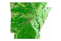
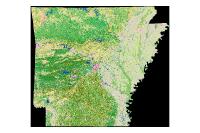
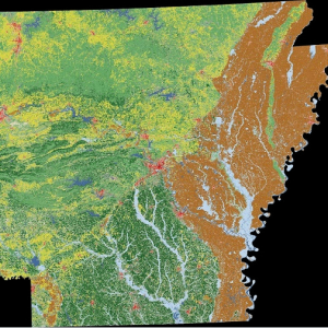
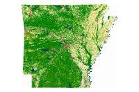
This map depicts the land-use and land-cover of Arkansas as it occurred in the year 2006. The data are derived from Landsat TM 5 scenes and extensive ground-truth information. The map focuses primarily on agricultural land-use: crop and pasture lands. The maps consist of a broad based inventory of land-use and land-cover. Map categories fall with 6 broad “Level 1” categories: water, forest, barren, herbaceous, agricultural lands, and urban. Specific Level 1 land-use categories: agriculture and urban are broken into more discrete, “Level 2” land-use subcategories: e.g. crop type, pasture type. Catagory LULC_NAME 10 Urban 11 Urban: Intensity 1 12 Urban: Intensity 2 13 Urban: Intensity 3 14 Urban: Other 30 Barren Land 31 Barren Land 40 Water 41 Water: Perennial 42 Water: Flooded 50 Herbaceous/Woody/Transitional 51 Herbaceous/Woody/Transitional 100 Forest Unclassified 101 Forest Unclassified / Transitional 200 Cropland 201 Soybeans 202 Rice 203 Cotton 204 Wheat/Oats 205 Sorghum/Corn 206 Other Cropland 208 Bare Soil/Seedbed 209 Warm Season Grasses 210 Cool Season Grasses
[Keywords: Land-use Land-cover LULC Landsat TM imageryBaseMapsEarthcover ]

