Data Description
gSSURGO MapUnit FY 2013
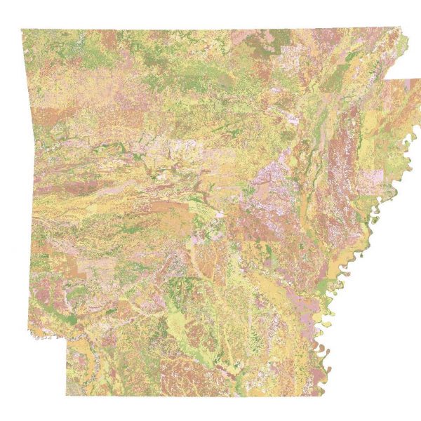
This dataset is called the Gridded SSURGO (gSSURGO) Database and is derived from the Soil Survey Geographic (SSURGO) Database. SSURGO is generally the most detailed level of soil geographic data developed by the National Cooperative Soil Survey (NCSS) in accordance with NCSS mapping standards. The tabular data represent the soil attributes, and are derived from properties and characteristics stored in the National Soil Information System (NASIS). The gSSURGO data were prepared by merging traditional SSURGO digital vector map and tabular data into State-wide extents, and adding a State-wide gridded map layer derived from the vector, plus a new value added look up (valu) table containing “ready to map” attributes. The gridded map layer is offered in an ArcGIS file geodatabase raster format. The raster and vector map data have a State-wide extent. The raster map data have a 10 meter cell size that approximates the vector polygons in an Albers Equal Area projection. Each cell (and polygon) is linked to a map unit identifier called the map unit key. A unique map unit key is used to link to raster cells and polygons to attribute tables, including the new value added look up (valu) table that contains additional derived data. The value added look up (valu) table contains attribute data summarized to the map unit level using best practice generalization methods intended to meet the needs of most users. The generalization methods include map unit component weighted averages and percent of the map unit meeting a given criteria.
[Keywords: SSURGO Geospatial Data Gateway soils vector GDG Soil Survey gSSURGO farming environment ]


