Data Description
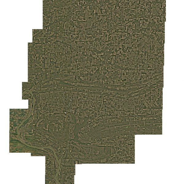
This dataset consists of 1 foot orthorectified imagery of Faulkner County collected between 2/3/2015 and 2/5/2015 by EFS GeoTechnologies (http://www.efsgeotech.com/). Orthorectified using 5 Meter statewide DEM. All aerial photography was orthorectified and stitched together to form seamless digital mosaics. The individual mosaics were subset to the coverage flown, and the individual mosaics were named by the USGS naming convention for quarterquadrangle sheets. All data is fully owned by Faulkner County. Faulkner County retains all rights to use, distribute, and/or modify the information as it deems necessary.
[Keywords: Aerial Ortho Orthos Photos Photography Aerials Aerial Photos Ortho Photos Aerial Photo Ortho Photo Aerial Photography Ortho Photography Imagery Image Aerial Imagery Orthoimagery Faulkner County]

