Data Description
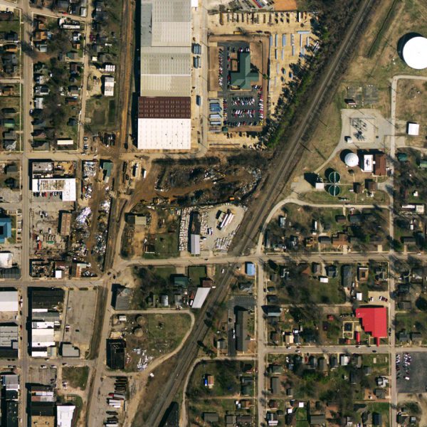
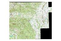
This dataset consists of 1 foot orthorectified imagery collected in the winter of 2013-2014 by EFS GeoTechnologies (http://www.efsgeotech.com/). Orthorectified using a photgrammetrically derived DEM. All aerial photography was orthorectified and stitched together to form a seamless digital mosaics. The individual mosaics were subset to the coverage flown, and mosaics were tiled using a custom tile scheme. All data is fully owned by Paragould Light and Water, which retains the rights to use, distribute, and/or modify as it deems necessary.
[Keywords: Aerial Ortho Orthos Photos Photography Aerials Aerial Photos Ortho Photos Aerial Photo Ortho Photo Aerial Photography Ortho Photography Imagery Image Aerial Imagery Orthoimagery Paragould City of Paragould, Paragould Light and Water]

