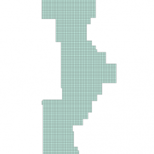
Data Description
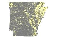
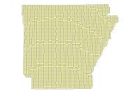
This dataset provides the image acquisition dates for the 2017 6 in Imagery that can be downloaded from http://geostor-imagery.geostor.org.s3.amazonaws.com/index.html?prefix=State/ADOP/2017. Additionally this dataset can be used in concert with Tile Footprints/Index accessible at http://gis.arkansas.gov/product/adop-2017-six-inch-tile-footprint/
[Keywords: imagery BaseMaps Earthcover DOQ DOQQ Aerial Ortho Orthos Photos Photography Aerials Doq Doqq Aerial Photos Ortho Photos Aerial Photo Ortho Photo Aerial Photography Ortho Photography Imagery Image Aerial Imagery Orthoimagery ADOP adop 2017 imagery Sanborn six inch 6 in High Resolution footprint photo center ]

