Data Description
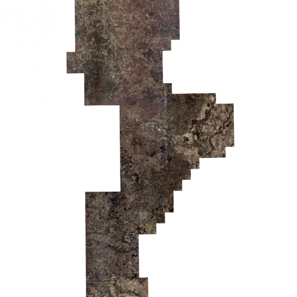
This metadata record describes the .15 cm pixel resolution digital orthoimagery produced for the Arkansas GIS Office by the Sanborn Map Company. The orthoimagery provided is 4-band (R, G, B, NIR), 8-bit per pixel and delivered in section tiles in uncompressed TIFF/TFW, compressed SID/SDW (40:1) and compressed cnty wide SID mosaics (40:1) formats. The data was collected on February 25, 26, 2017 and March 1, 2, 3, 8, 2017 at an altitude range between 9505 and 9893 feet using an UltraCam Eagle camera and complies with the NSSDA standards, large scale maps at 1″ = 50′. This orthoimagery is published in Universal Transverse Mercator Zone 15N, NAD 83, meters.
Click Here to View Map Click Here to View Tile Footprint Click Here to View Photo Centers[Keywords: imagery BaseMaps Earthcover DOQ DOQQ Aerial Ortho Orthos Photos Photography Aerials Doq Doqq Aerial Photos Ortho Photos Aerial Photo Ortho Photo Aerial Photography Ortho Photography Imagery Image Aerial Imagery Orthoimagery ADOP adop 2017 imagery Sanborn six inch 6 in High Resolution ]

