Data Description
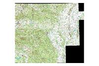
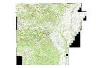
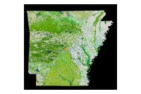
100K Digital Raster Graphic (raster)
Data available online through GeoStor at http://www.geostor.arkansas.gov. The Digital Raster Graphic (DRG) is a raster image of a scanned USGS topographic map, georeferenced to the UTM grid.
[Keywords: imageryBaseMapsEarthcover drg topo contours contour elevation drgs drgs quad map ]

